


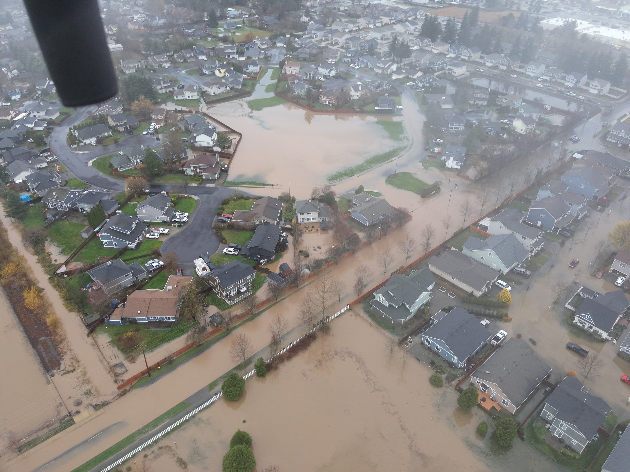
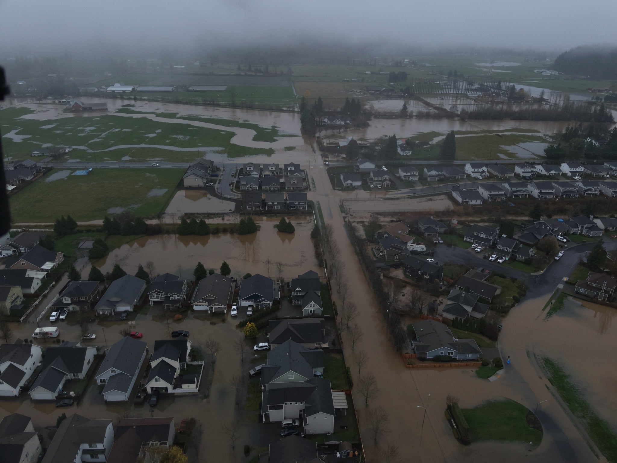
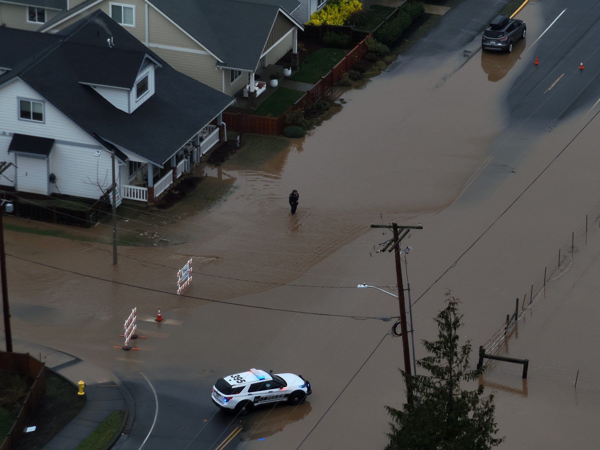
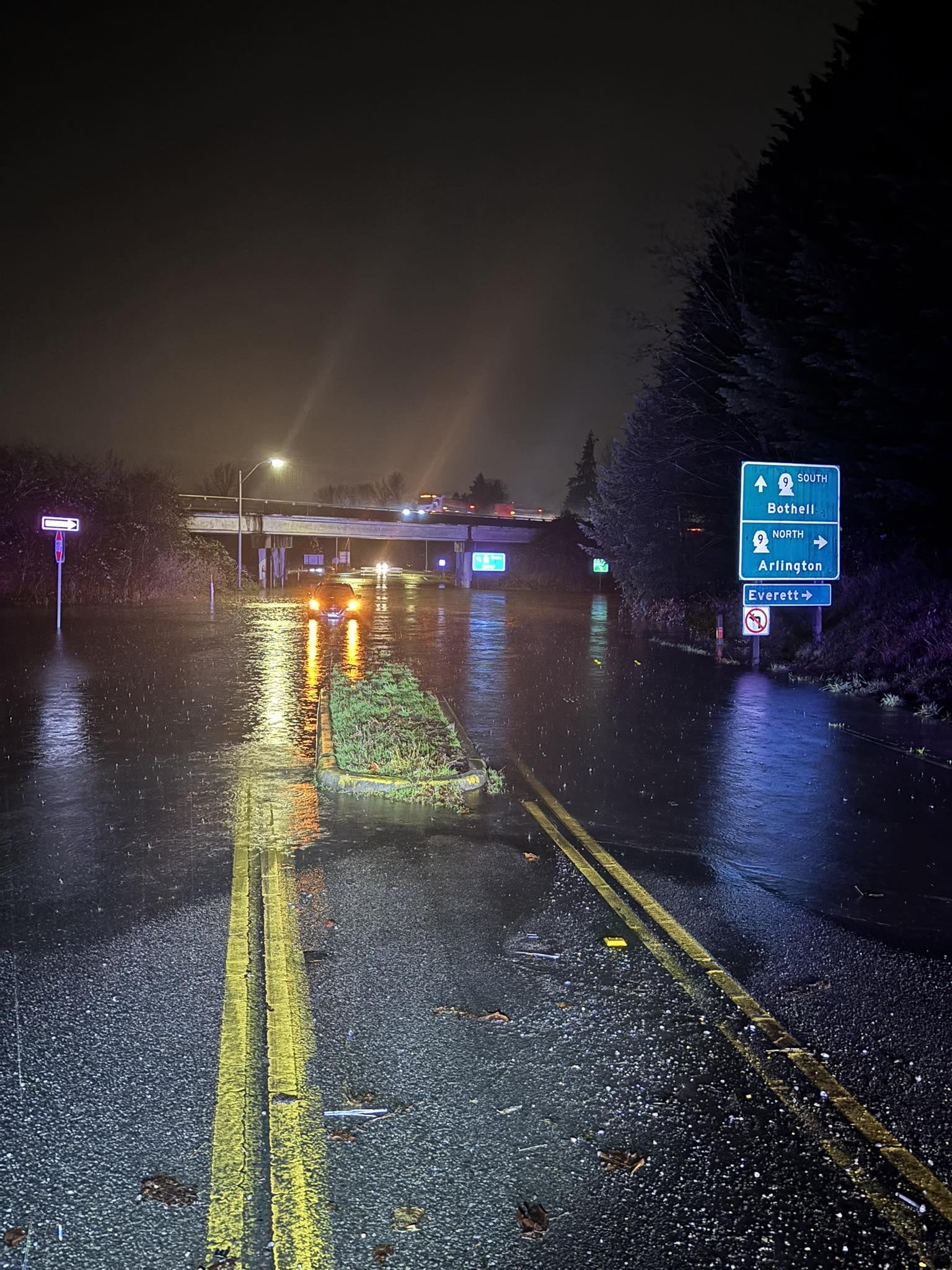
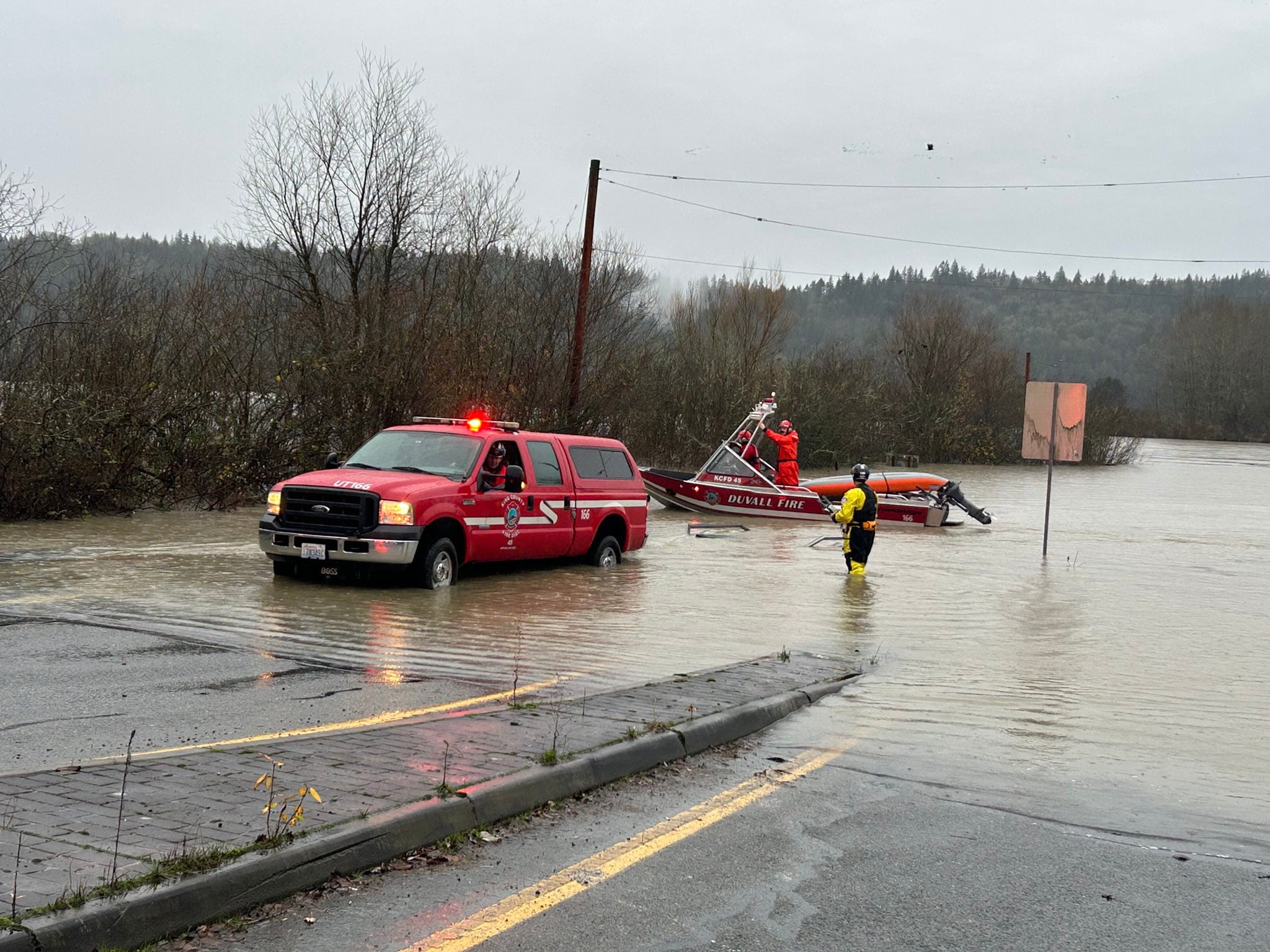
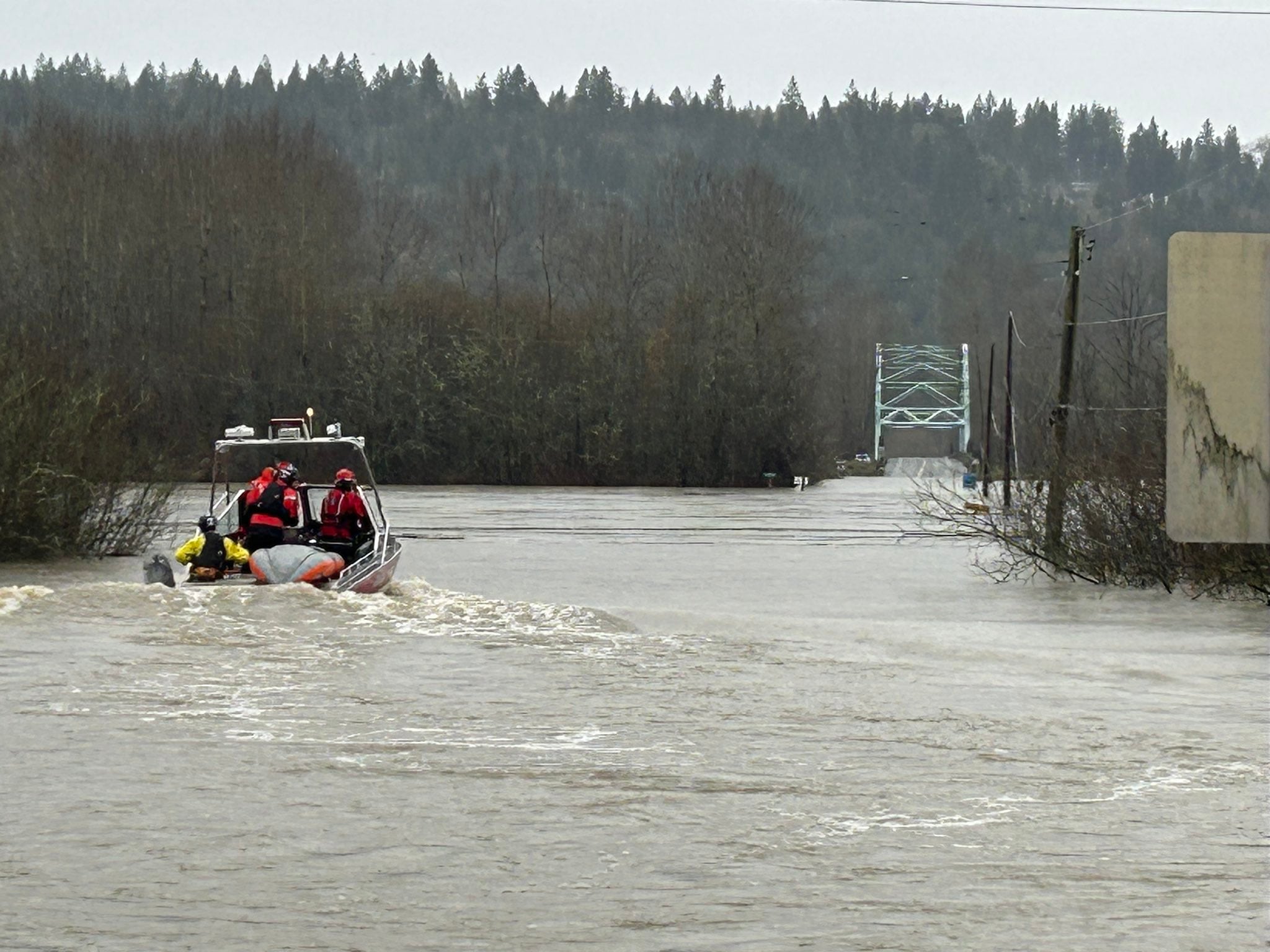


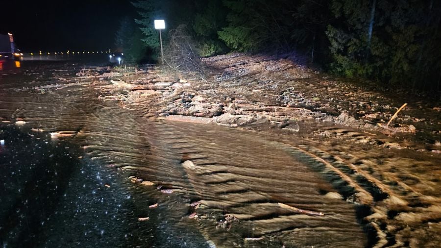

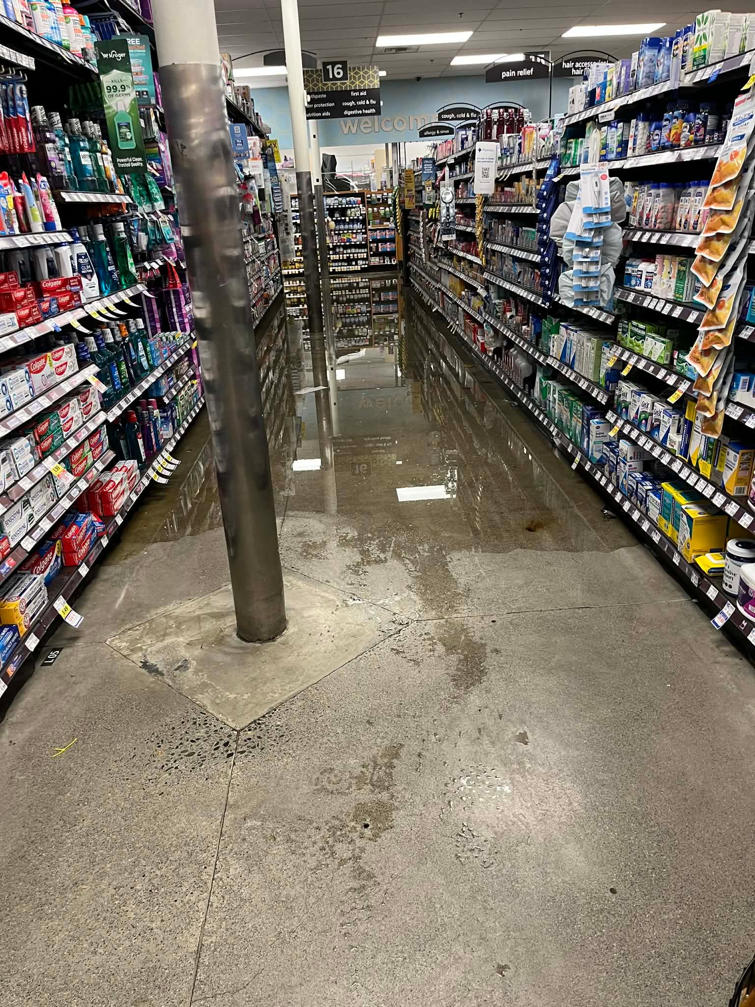
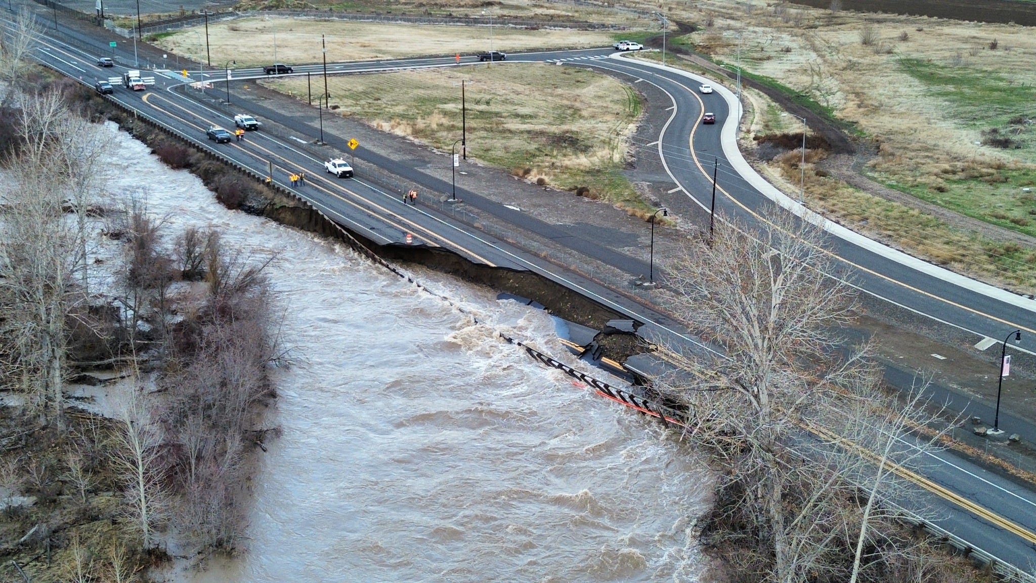

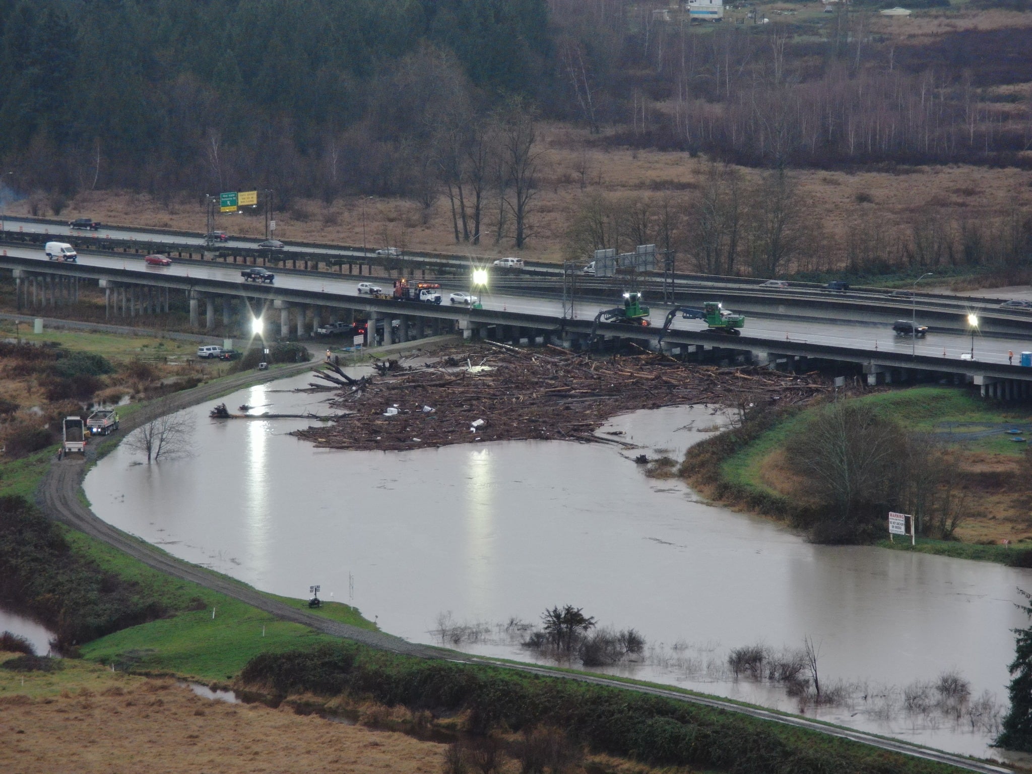
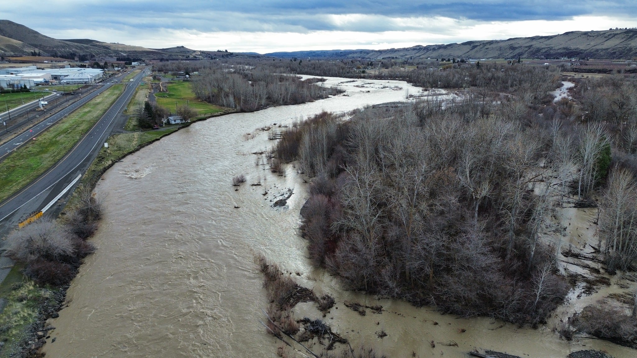


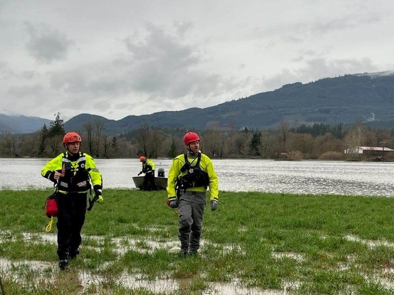
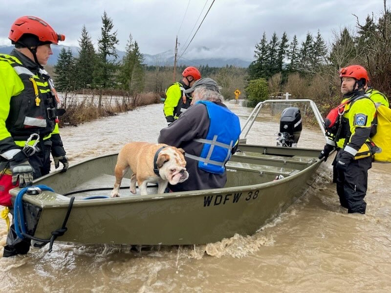
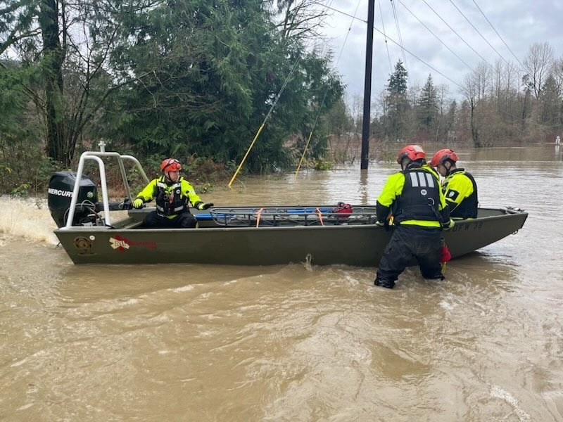


WASHINGTON — Washington is grappling with record-breaking flooding, devastating so much of our community. We’re getting a break from the rain, but saturated soil means there’s still a risk for landslides. More moisture is coming. Our team is tracking another atmospheric river for next week.
Atmospheric River - Next Week
This next atmospheric river looks to be weak to moderate and nothing comparable to the event we just went through, but with 1-2″ of rain in the lowlands and 4-7″ in the mountains through the first half of next week, we will likely have problems.
Rivers will still be running high in spots and the ground saturated, so we’ll see rivers rising into Tuesday and Wednesday. Right now, the greatest concern could be on the Skagit and Snoqualmie rivers, but peaking around moderate flood stage — nothing close to the record flooding we’re seeing now.
Late next week, we could see a turn toward cooler weather, which could start putting mountain precipitation down as snow instead of flooding rain.
What about the weekend?
The weather will cooperate as well this weekend, with some calm conditions today and tomorrow. In fact, we’re so calm that we have some fog this morning. We’re cooler than yesterday, so fog has settled in with a ton of low-level moisture. That means some drizzle, mist, or even a few sprinkles on the radar. This morning will decrease as the day goes on, with some sunbreaks increasing this afternoon and evening. A sprinkle or two may stick around over the Northwest Interior of western Washington. Highs will be in the upper-50s.
Saturday will be cool to start with some low clouds or fog, and then afternoon sunshine. High clouds will increase a bit in the afternoon, but it does look like a nice day in the upper-50s.
Rain showers will move back in on Sunday with hit-and-miss downpours, but then we’ll be looking ahead to another atmospheric river affecting the region Monday and Tuesday.
KIRO 7 has issued a PinPoint Alert for the incoming weather system from Monday through Thursday and will be tracking the impacts on air and online at kiro7.com
©2025 Cox Media Group


